

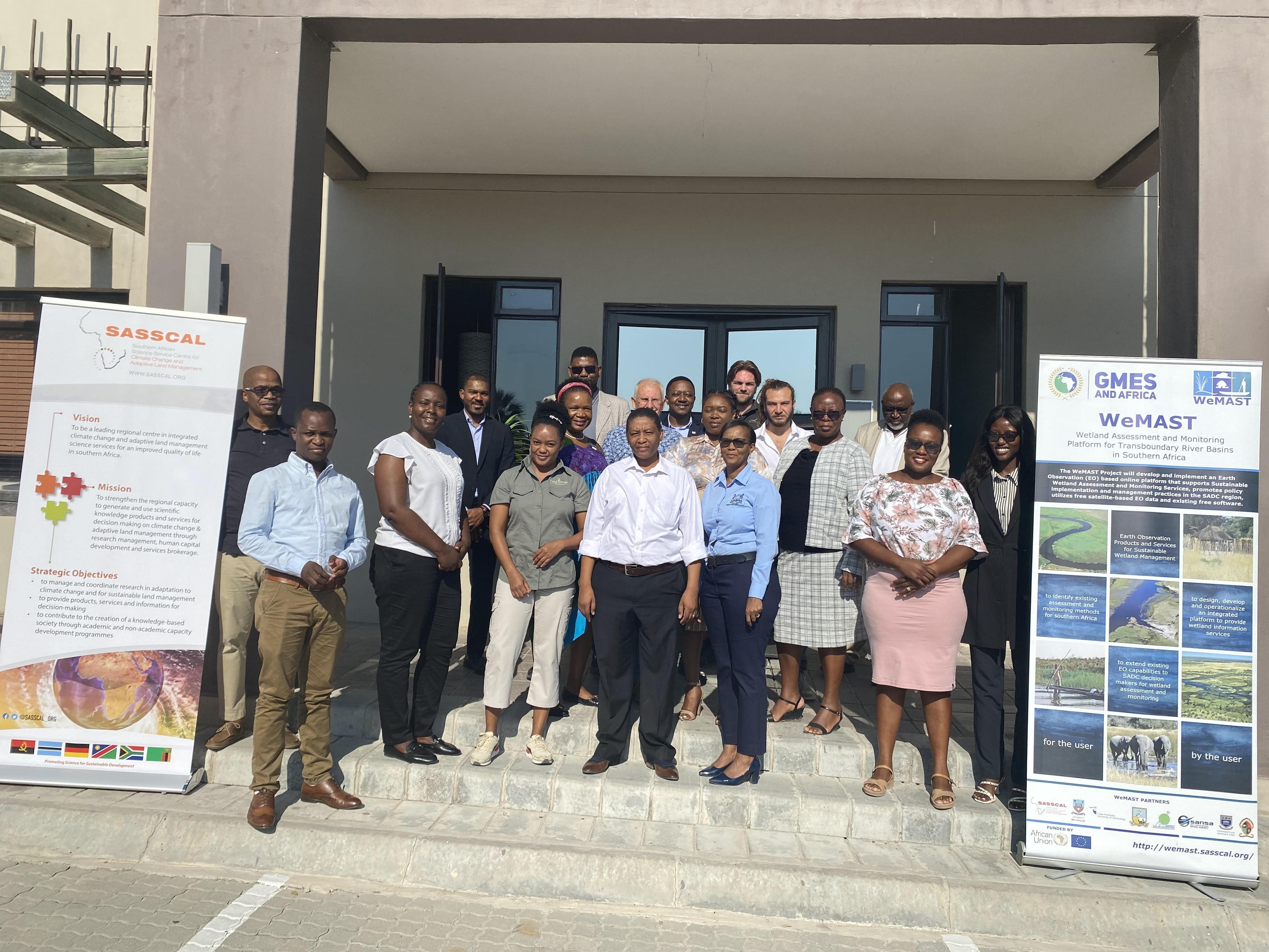
The Southern African Science Service for Climate Change and Adaptive Land Management (SASSCAL) and its technical partner hosted the WeMAST Phase II wetlands monitoring stakeholders’ engagement meeting for the Okavango River Basin from the 8th to the 9th of May 2023 at the Cresta Maun Resort in Botswana and at the Cuvelai River Basin on the 11th of May 2023 at Hotel Destiny, Ongwediva in Namibia.
The meeting brought together stakeholders across the Okavango and Cuvelai river basin for inputs and validation of the upscaled WeMAST Geoportal’s:
- Indicators and indices;
- User acceptance testing of the recently developed Mobile Application and the introduction of the Mapographics® as a decision – making tool for end-users.
WeMAST Geoportal is developed “with the users- for the user” and is a valuable tool that allows for the integration of data from a range of sources, including satellite imagery, filed surveys, and monitoring data to assist provide a more comprehensive status of wetlands, and to identify changes and trends over time.
The WeMAST geoportal provides stakeholders with access to data on the location, size and conditions of wetlands as well as information on the threats and measures that can be taken to preserve the environment around and within wetlands.
Stakeholders comprising of government institutions, non-governmental organizations, researchers, private organizations, and the local communities, all play a critical role in the monitoring and preservation of wetlands. Using the geoportal, stakeholders can collaborate and share data enabling an effective approach to wetlands management. Government institutions responsible for wetlands management can use a geoportal to monitor changes in wetlands extent and quality, assess the impact of human activities and identify priority areas for conservation.
Whereas on the other hand, researchers can use the geoportal to access data on wetland ecology and hydrology and identify areas for further study. In the long run, by sharing findings and collaborations, there is a better understanding of the wetlands ecosystems and inform conservation efforts in wetland management.
Stakeholders’ collaboration in the Okavango and Cuvelai will help improve community engagements, decision – making and long-term conservation of the valuable ecosystems.
SASSCAL aims to have more stakeholders’ engagement with its end users and hopes to build synergies in enhancing cross-fertilization with the public, private and public institutions, non-profit organizations, and all relevant stakeholders.
“According to the United Nations Environment Programme of 2019, Southern Africa is home to some of the most important wetlands in the world, including the Okavango, Cuvelai, Limpopo and Zambezi river basins that provides a wide range of ecosystem services such as water purification, flood control, carbon sequestration and support the livelihoods of millions of people in the region.”
Leave a Reply