
Services & Products

Our Mission
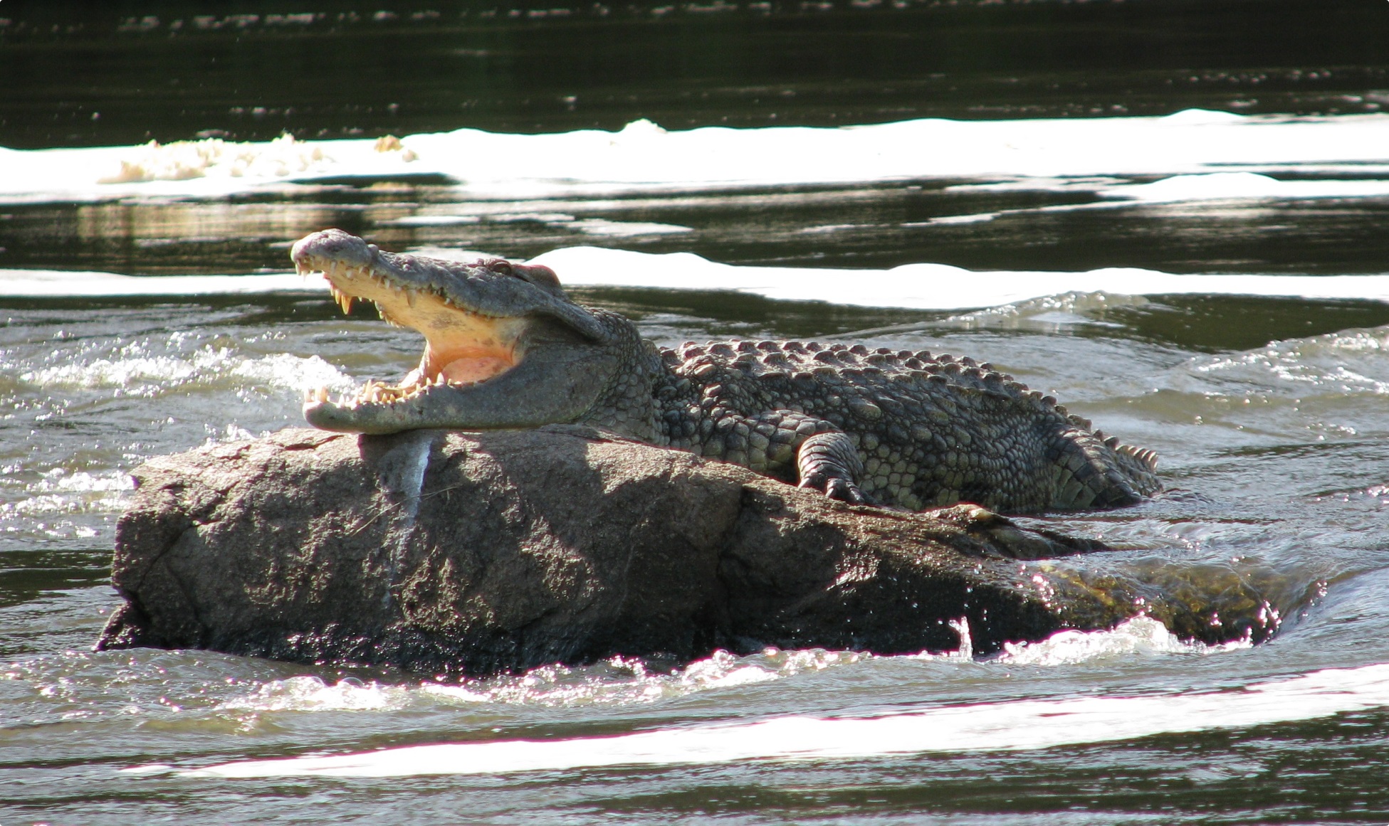
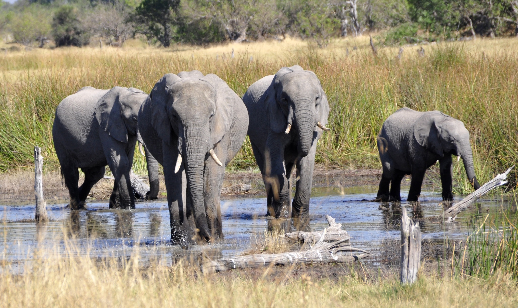
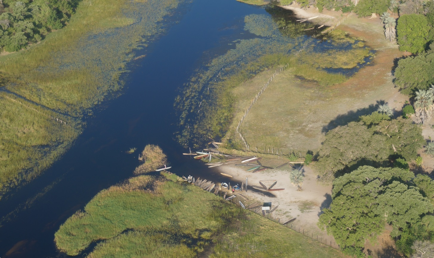
Wetlands in Southern Africa are highly productive and biologically diverse ecosystems that contribute significantly to livelihood and economic development. However, they are under significant pressure from both human activities and natural phenomena, including agriculture, land cover and land use change, human settlements, water harvesting, invasive species infestation, climate change and unsustainable development practices. The future of these wetlands is therefore dependent on effective assessment and monitoring initiatives that can inform policy and decision making to promote sustainable management. Inadequate human and institutional capacity and traditional data sources, as well as the lack of suitable and applicable spatial data, constrain effective wetland management efforts.
The WeMAST project will develop and implement an Earth Observation (EO) based platform that supports Sustainable Wetland Assessment and Monitoring Services, promote policy implementation and management practices in the SADC region, utilize free Satellite-based EO data and existing free software to explore:
- hydrological and wetland Models applicable to the selected basins across Southern Africa
- in situ data gathered from the four basins (Cuvelai, Limpopo, Okavango and Zambezi): flood regime (duration, extent, and timing), wetland inventory and land use, vegetation dynamics (cover, density, and phenology)
- weather and climate information from free and operational climate services
- archived satellite-based EO data e.g. provided by the Copernicus missions, Landsat series, MODIS Aqua/Terra products
Work Packages
- Framework & Requirements Assessment
- Data Harvesting & Models
- Products & Service Development
- Capacity Building & Outreach
- User needs assessment
- Conduct a comprehensive analysis of available satellite-based EO data and identify the most suitable EO data products to be used in the WeMAST framework design and development
- Conduct a comprehensive in-situ data assessment
- To identify, assess and prepare a comprehensive readily available/existing free open source software and tools inventory
- To characterize the wetlands in the selected river basins that will be considered in the action
- To assess human-wetland interactions
- EO data acquisition, pre-processing and data fusion
- Climate & weather data harvesting
- In situ and wetland assessment models
- Service design and development
- Service integration and testing
- Products & services validation
- Services demonstration
- Dissemination and Communication
- Human-Wetland interactions & Stakeholders Engagement
- Capacity Building
- Sustainability & Exploitation Plan