

The African Union Commission (AUC) concluded its GMES and Africa Monitoring Mission of the SASSCAL consortium-led project on the Wetland Monitoring and Assessment Service for Transboundary Basins in Southern Africa (WeMAST) Geoportal. The SASSCAL consortium is inclusive of its technical partners, the University of Botswana, the University of Western Cape, the University of Zambia, the University of Namibia, Midlands State University, SADC WaterNet, the National Remote Sensing Centre, Zambia Environment Management Agency, and LocateIT.
The two-day monitoring mission that took place on the 14th and 15th of March 2024, concluded positively highlighting the significant impact of the Geoportal in supporting African policymakers, river basin watercourse commissions, scientists, and communities in designing, implementing, and monitoring regional and continental policies for sustainable water and natural resource management using Earth Observation (EO) data technologies.
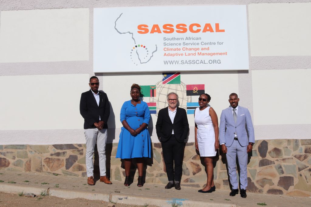
The AUC represented by Mr Lottie Sinyangwe and Mr Brice Montfraix, deliberated on the milestones of WEMAST Phase II, with the SASSCAL team led by Dr Jane Olwoch, SASSCAL’s Executive Director.
A successful monitoring mission served as a testament to the commitment to ensure that the products and services of the WeMAST Geoportal act as a catalyst for positive change and impactful transformation within communities across Southern Africa and Africa at large.
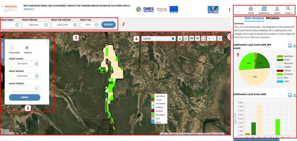
At its core, the WeMAST geoportal serves as a monitoring tool where stakeholders gain insights into wetlands status and extent, enabling informed decision-making for sustainable management practices.
In 2024, SASSCAL will unveil the upscaled version two of the WeMAST Geoportal to its audience worldwide. SASSCAL has been actively engaged in fostering stakeholder familiarity with all its products and services, as well as promoting user acceptance of its geoportal. This initiative complements its Earth Observation (EO) training efforts carried out in 2023, where SASSCAL and its partners successfully trained approximately 109 individuals on the significance and practical application of EO technologies for wetlands monitoring and assessment.
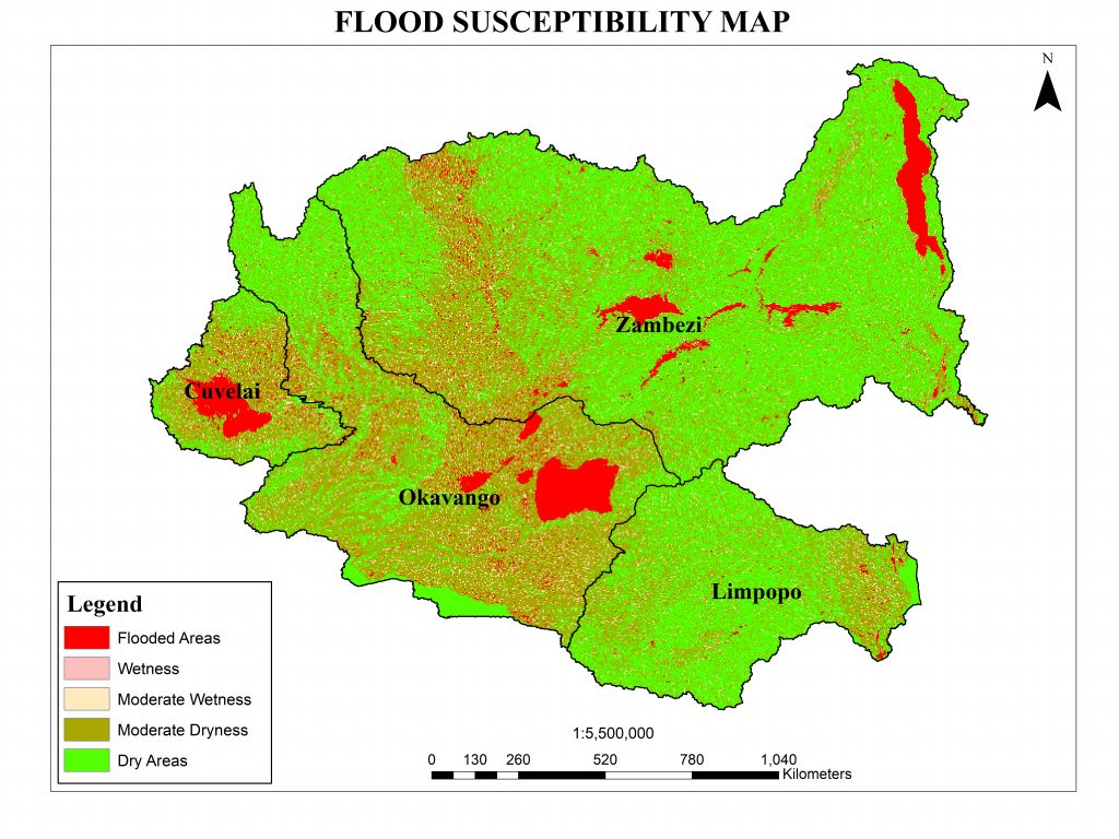
Satellite Earth Observation data from the Copernicus programme is integrated with in-situ data gathered from four river basins namely Okavango, Cuvelai, Zambezi, and Limpopo in Southern Africa. The geoportal has served as a centralized hub for products and services, along with maps, factsheets and mapographics containing descriptions and statistics for basins and wetlands. The geoportal has been a valuable resource for policymakers, decision-makers, stakeholders, and users across water and natural resources management.
The WeMAST geoportal provides access to:
- Data Repository: A central repository for geospatial data related to wetlands, including satellite imagery such as land use/cover, vegetation cover, wetland inventory (status and extent) water quality, soil moisture index, etc.
- Interactive Mapping Tool: Portal features interactive mapping tools tracking changes in wetlands over time.
- Decision Support Systems: Act as a decision support system for policy and decision-makers.
- Collaborative Platform: Users can share data, exchange knowledge, and collaborate on validation and ground-truthing of data on the portal.
- Capacity Building Resources: The portal offers educational resources to enhance understanding of wetlands management and conservation
- Community Engagement Tool: Provide tools for community engagement to ensure that management efforts are inclusive and equitable with the conservation and sustainability of wetlands,
- Monitoring and Reporting Framework: Serve as a tracking tool towards conservation goals and objectives for policy and decision- makers. Users can generate factsheets, infographics, and maps for reporting purposes.
WeMAST geoportal serves as the number one solution for sustainable wetlands management for future generations to come. The GMES and Africa monitoring mission has yielded invaluable insights underscoring the effectiveness of the WeMAST milestones and implementation plan for 2024 gearing for the full operationalization of the Geoportal.
Leave a Reply