
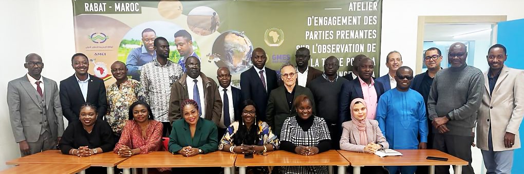
 The AUC and GMES & Africa consortia, Regional Economic Communities, International and Intergovernmental Organizations, Academia, Private Sectors, and Beneficiaries of Land Degradation Monitoring Services delegation that attended “the GMES & Africa Stakeholders Workshop in Rabat, Morocco.
The Southern African Science Service Centre for Climate Change and Adaptive Land management (SASSCAL) ’s Consortium, Wetland Monitoring and Assessment Service for Transboundary Basins (WeMAST) participated in the GMES & Africa’s Stakeholders Engagement Workshop on Earth Observation for Land Degradation Monitoring from the 27th to the 29th of March 2023, in Rabat, Morocco.
The workshop hosted by the African Union Commission (AUC) and the Centre Régional Africain des Sciences et Technologies de l’Espace en Langue Française (CRASTE-LF), aimed at leveraging, promoting and sharing experiences, knowledge and the best practices in having a common understanding about the use of Earth) for land degradation monitoring in Africa.
According to the United Nations Environment Programme , Economic Land Degradation report of 2015, Africa is vulnerable to land degradation and desertification whereas desertification affects around 45% of Africa’s land area, leaving 55% at high risk of further degradation.
Therefore, WeMAST’s upscaling strategy for its geoportal EO products and services, primarily focusing on ground data calibration and validation, Earth Observation Mapographics™, and strengthening capacity development, stakeholders’ outreach and the dissemination of such geospatial information will enable synergy with various stakeholders especially policy and decision makers, to utilize such information in monitoring land degradation in Southern Africa and Africa.
The WeMAST geoportal through its product exposure in wetlands inventory on land and vegetation cover contributes to the monitoring of Land Degradation. Continuous inventory includes EO on Savanna grasslands, shrublands, grasslands, crop lands, sparse vegetation, etc., which will assist in identifying land areas vulnerable and at high risk of land degradation and find mitigation measures to achieve land degradation neutrality.
In addition to this, WeMAST has developed a Mobile Application for its end-users to access, validate & visualize the geoportal products, established a gender-sensitive training strategy on EO monitoring and assessment and plans to establish a WeMAST Community of Practice (COP) to ensure the sustainability of the project’s Earth Observation goals under the GMES & Africa Programme as funded by the African and European Union.
GMES & Africa’s Consortium, WeMAST with its Technical partners seek to build synergies that promote cross -fertilization with the Regional Centre for Mapping of Resources for Development (RCMRD) and the Centre de Suivie Ecologique (CSE), and other partnerships to interchange knowledge and best practices in Earth Observation.
The AUC and GMES & Africa consortia, Regional Economic Communities, International and intergovernmental organizations, academia, private sectors, and beneficiaries of land degradation monitoring services came together to discuss:
- Results of cross-fertilization between consortia and stakeholders through sharing experiences, knowledge and best practices.
- The implementation of the roadmap for the continental land degradation monitoring network development and implementation plan.
- Academia and private sector roles in Land Degradation monitoring; and
- An update on the development of training activities and communication plan for the network for the use of EO for land degradation monitoring and the way forward.
Leave a Reply